Hodag Chair (top)
- Looking west-northwest from top of Hoodoo Butte
|
Three Fingered Jack, Mt Jefferson, Hogg Rock
|
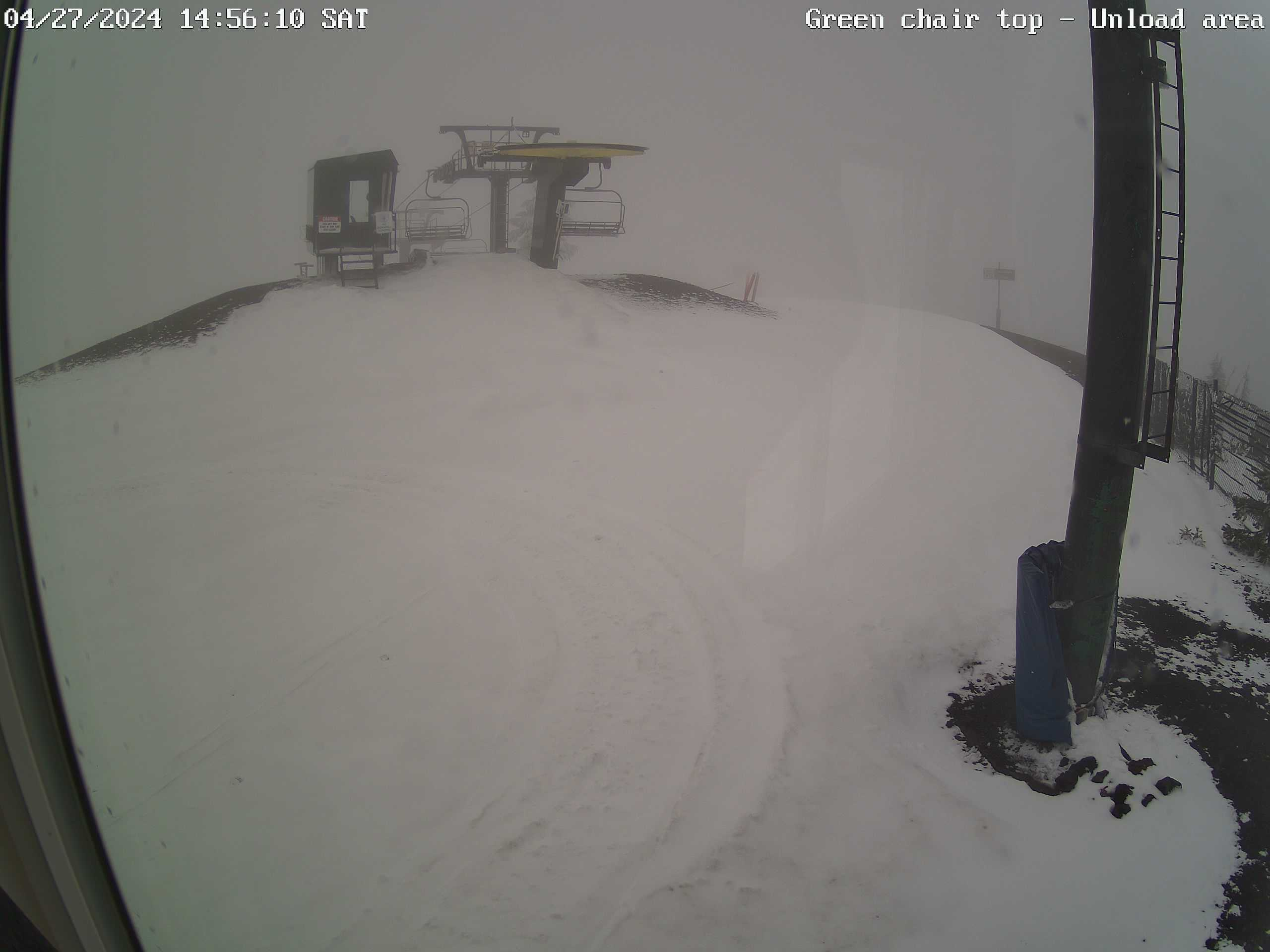
Green Chair (top)
|
Hogg Rock & US20 highway
- Looking north from the top of Hoodoo Butte
- Highway US20 between mileposts 78 & 80
- Hogg Rock is a "tuya"
- Mt Jefferson & Three-Fingered Jack in the background
|
Cache Mtn
- Looking eastsoutheast from top of Hoodoo Butte
- Foreground - Hayrick Butte
- Background - Black Butte, Mt Washington
|
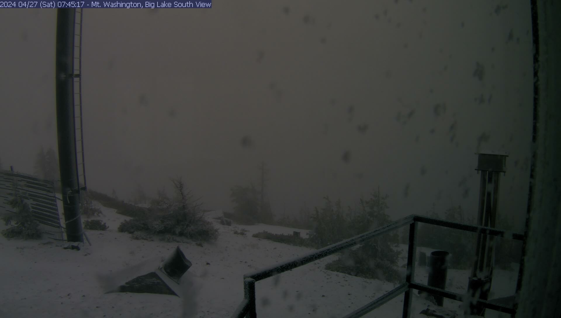
Mt Washington & Big Lake
- Looking south-southeast from top of Hoodoo Butte
|
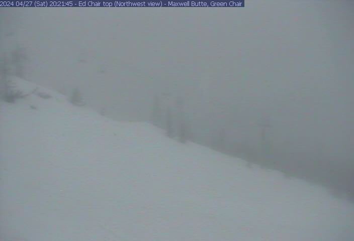
Maxwell Butte, Mt Jefferson, Three Fingered Jack
- Looking northwest from top of 'Ed chair
|
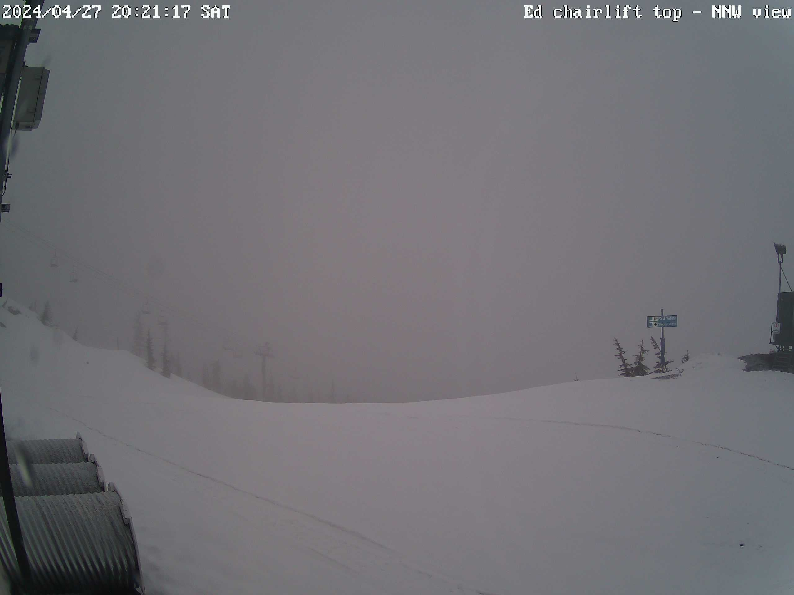
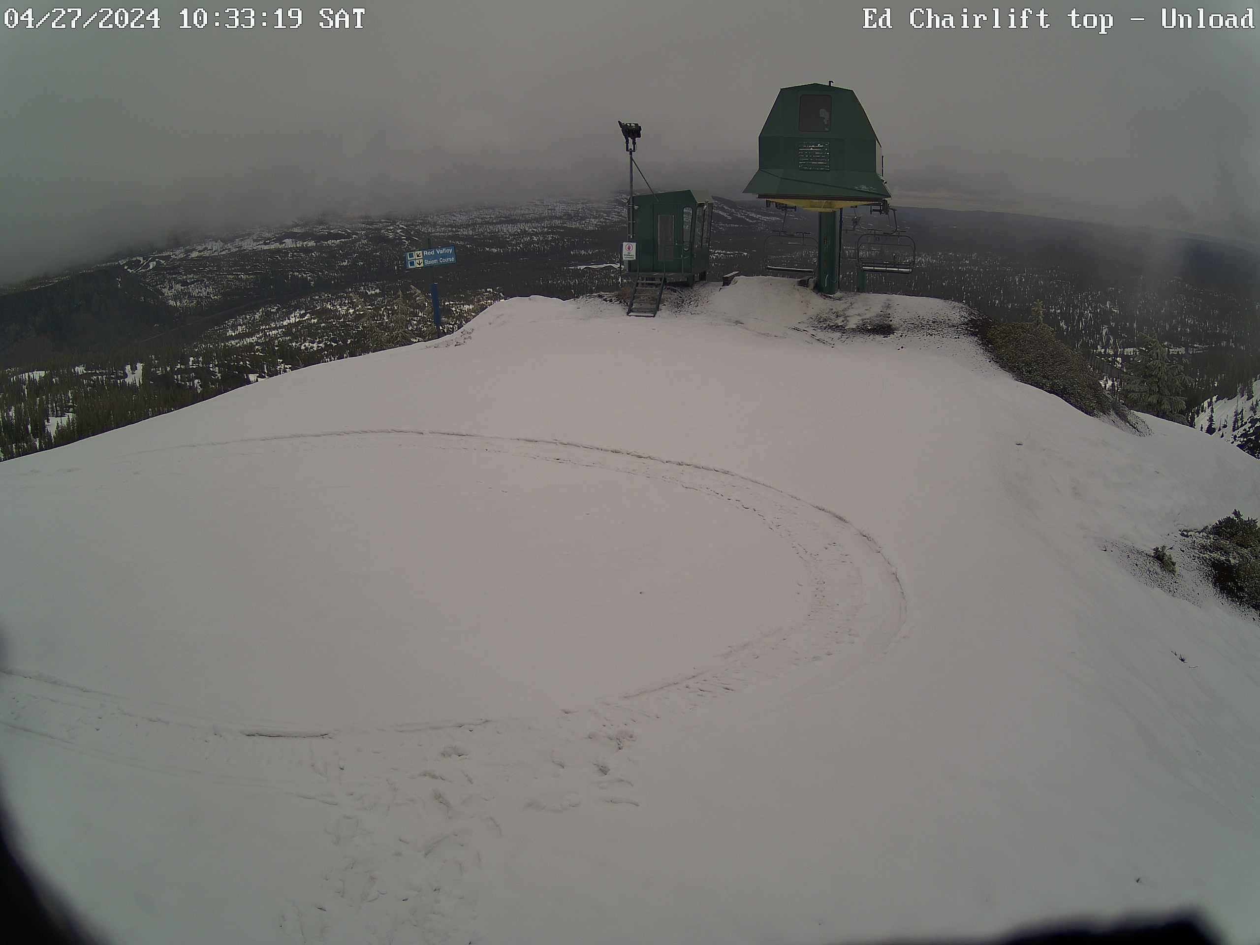
Ed Thurston Chairlift (top)
- Looking north-northeast from top of 'Ed chair
- Background - Three-Fingered Jack
|
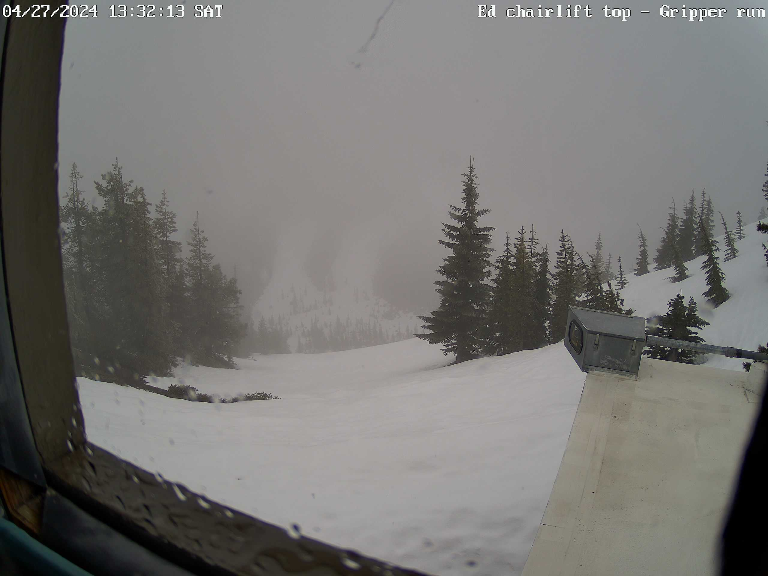
"Gripper" run & Hayrick Butte
- Looking southeast from top of 'Ed chair
- Background - Mt Washington
|
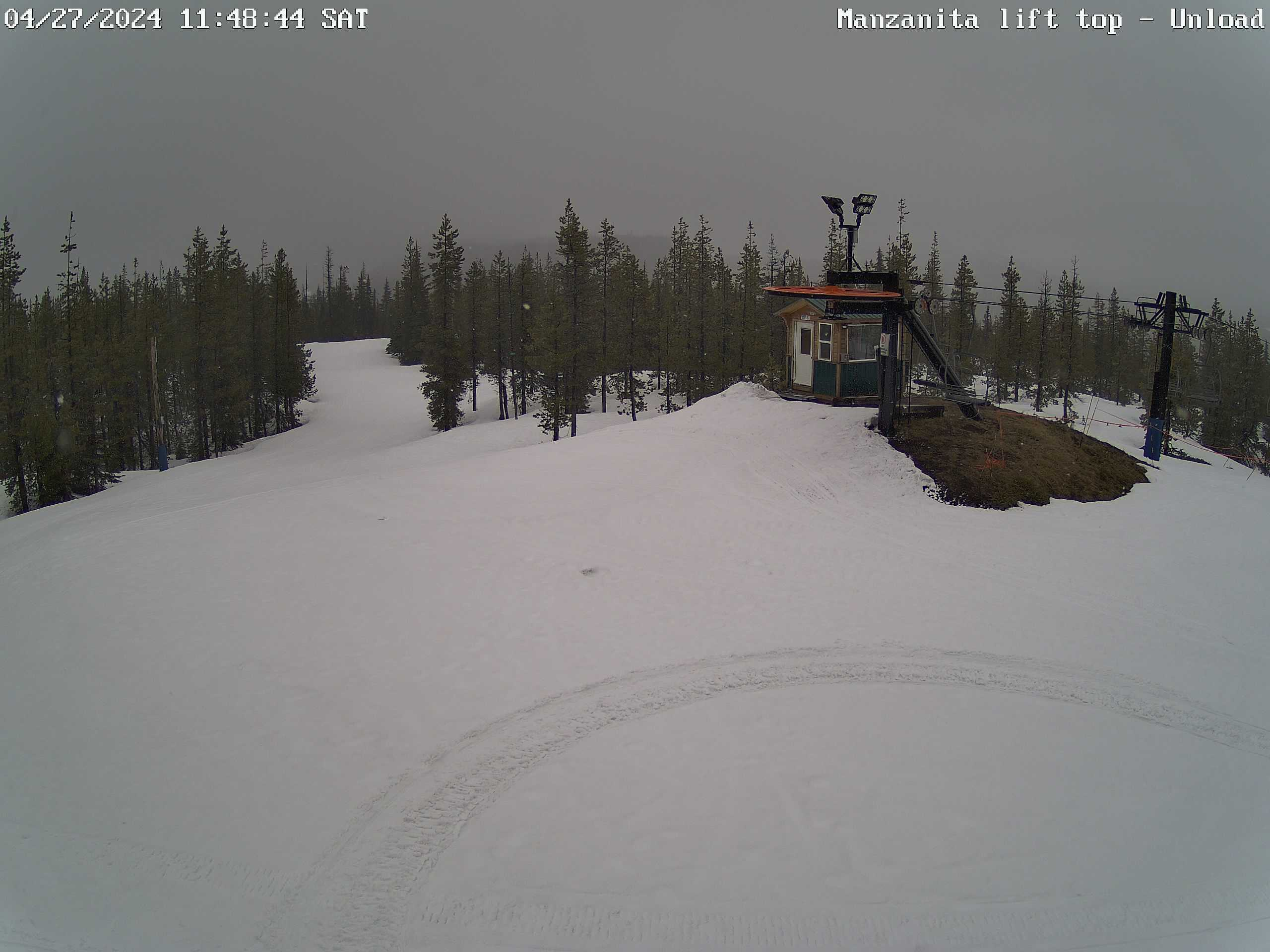
Manzanita chairlift (top)
- Looking north
- Background - Three Fingered Jack, Hogg Rock
|
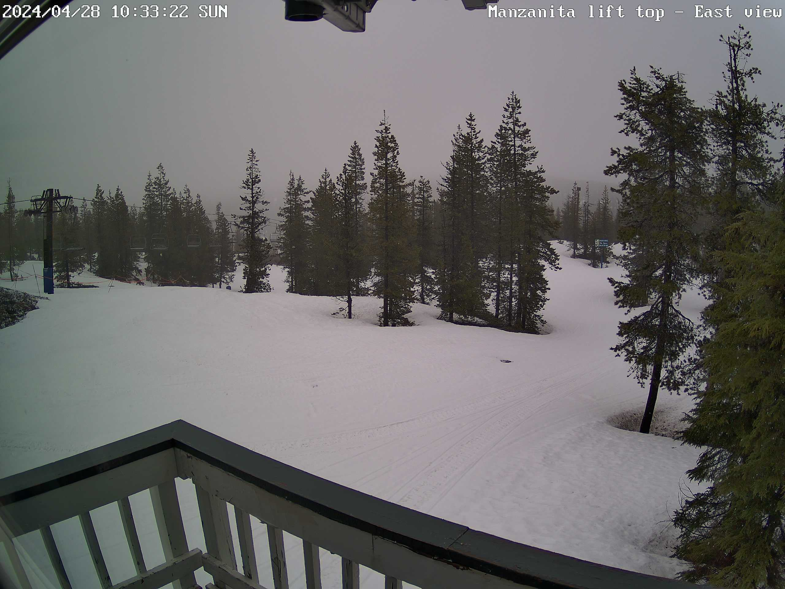
"Top of the 'Wall" run
- Looking east from top of Manzanita chair
- Background - Black Butte
|
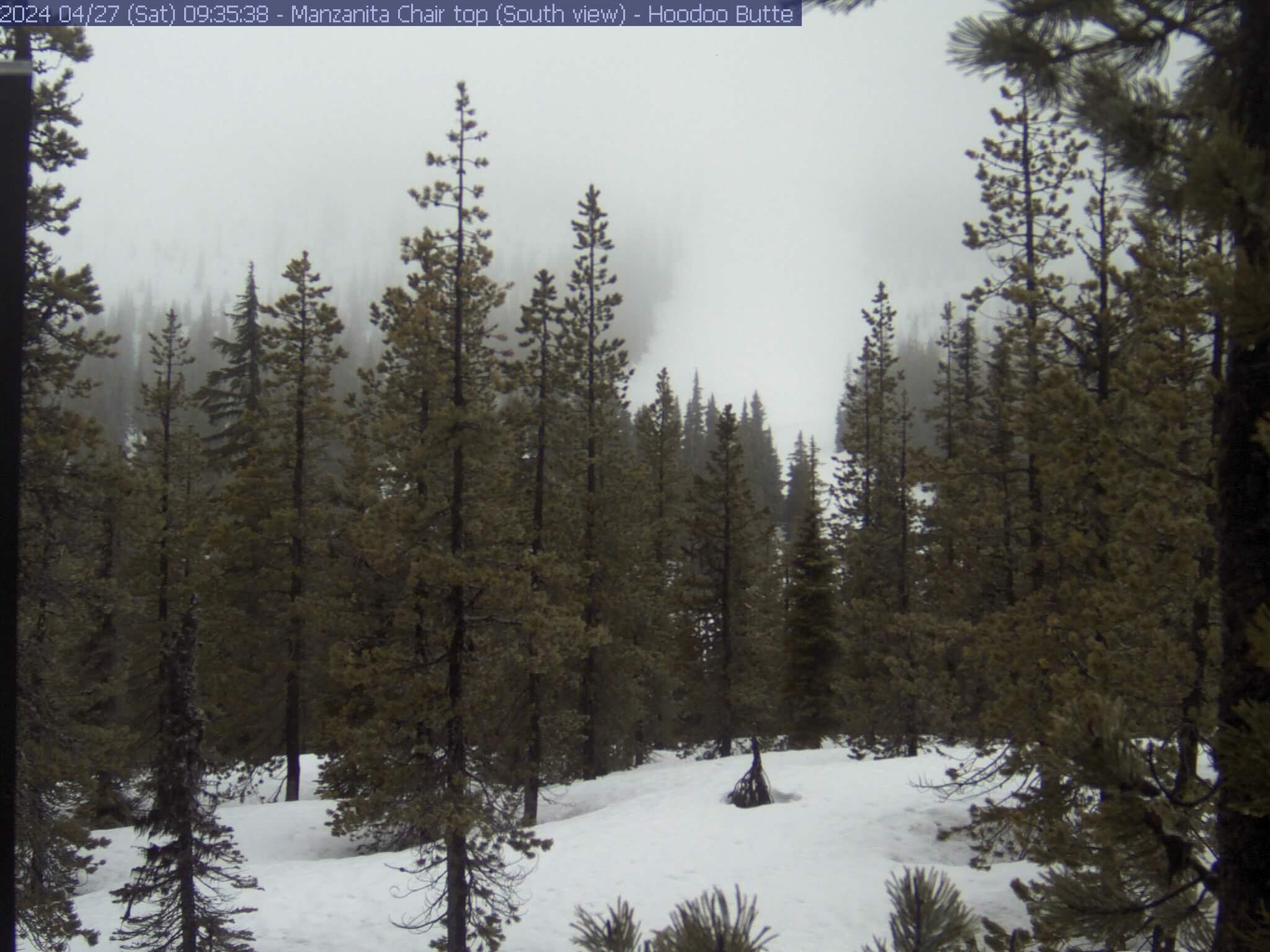
North side of Hoodoo Butte, "Dive" run
- Looking south from top of Manzanita chair
|
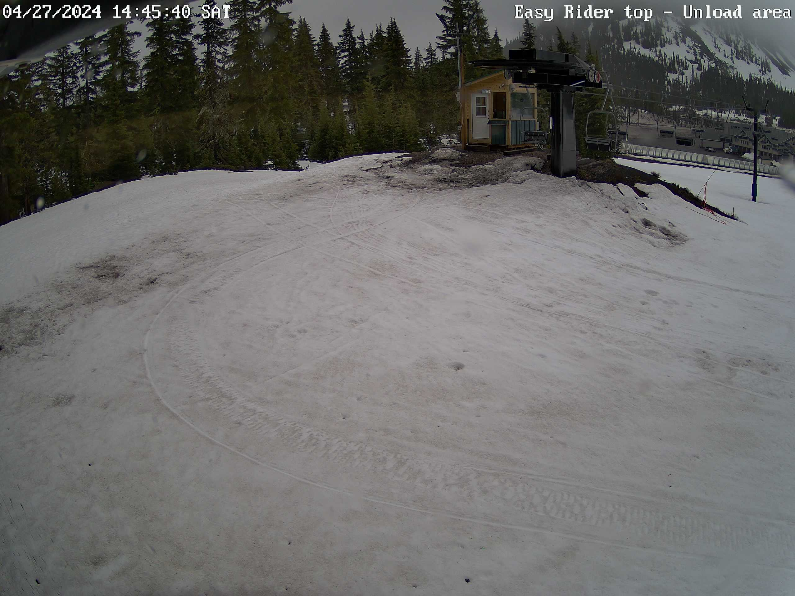
Easy Rider chairlift (top) - offload area
- Looking southeast
- Background - "Magic Carpet" & Lodge
|
Hayrick Butte, Hoodoo Bowl, Hoodoo Butte
- Looking south from top of Easy Rider chair
- View also includes the North Lodge
- Hayrick Butte is a "tuya"
|
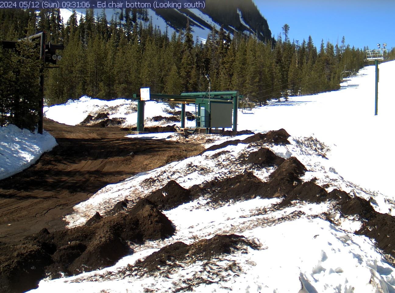
Ed Thurston chairlift (bottom)
- Looking south
- Background - Hayrick Butte
|
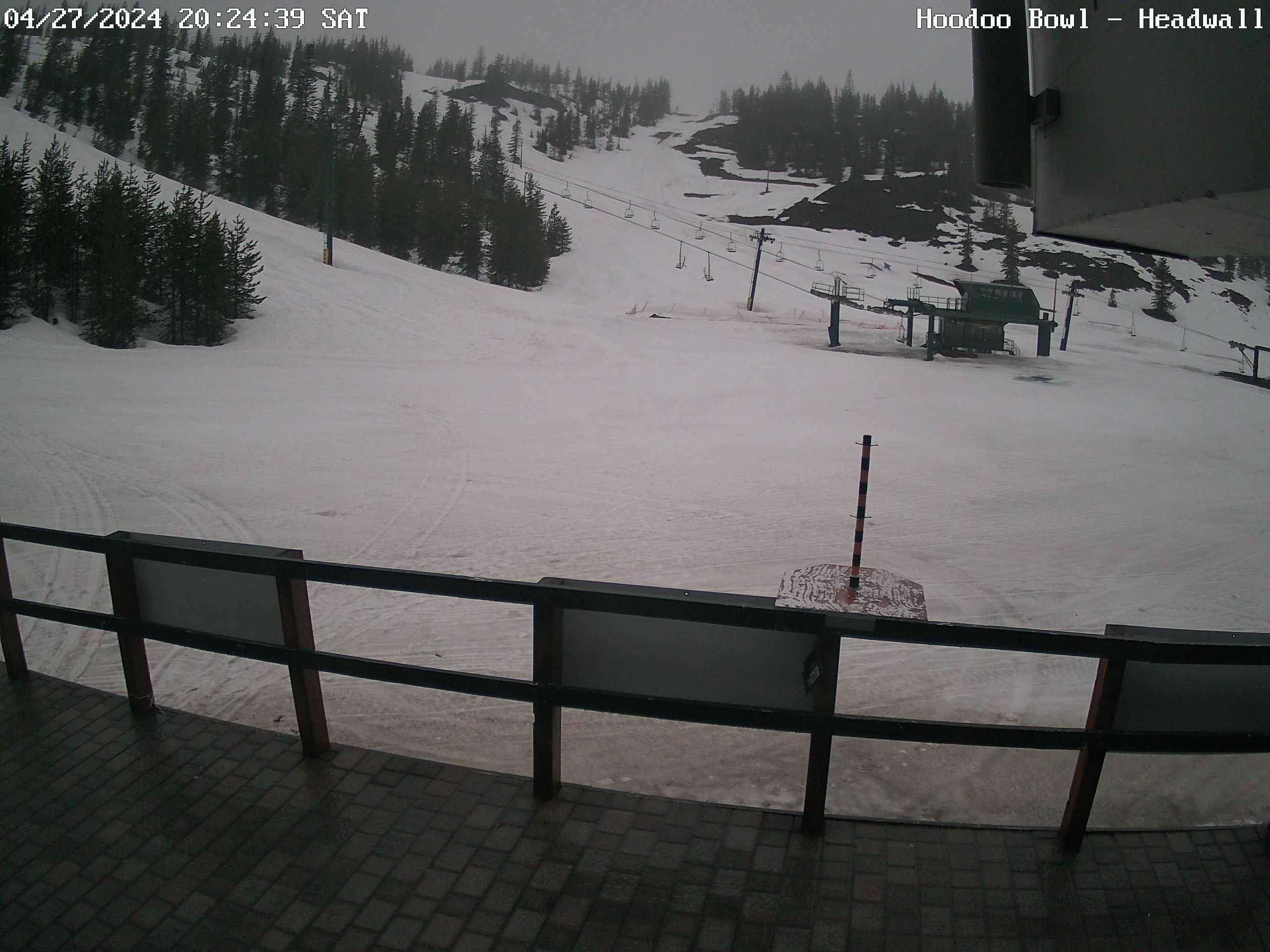
Headwall, Blue Valley
- Looking southwest from the South Lodge
- View includes Green & Manzanita chairs
|
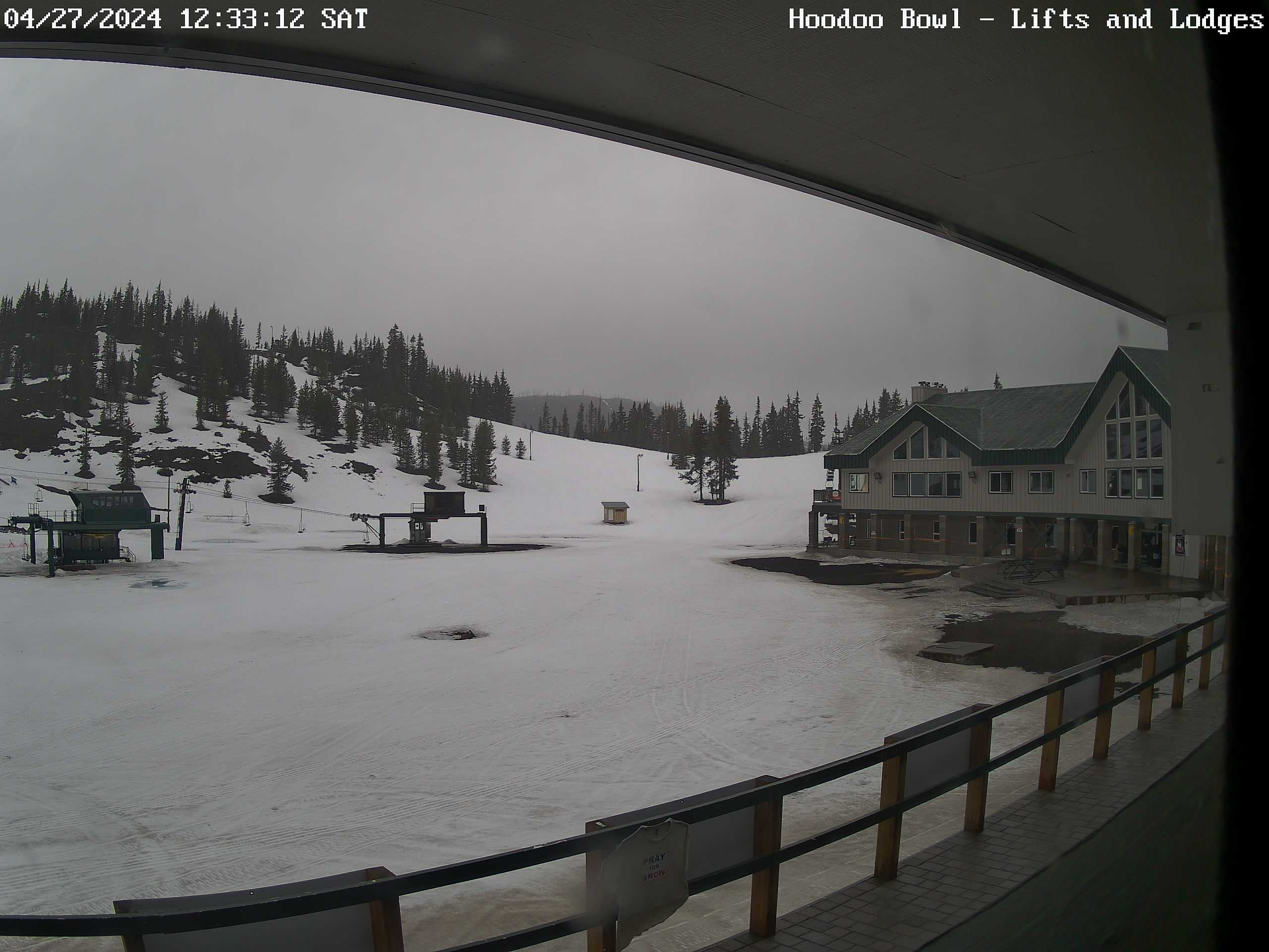
Hoodoo Bowl, North lodge
- Looking west-northwest from the South Lodge
- View includes Green & Manzanita chairlifts
|
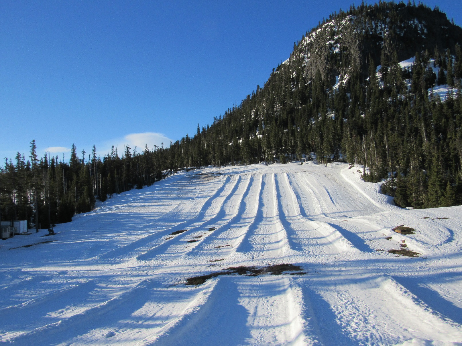
Autobahn - Tubing area
- Manually inserted picture (~weekly)
|
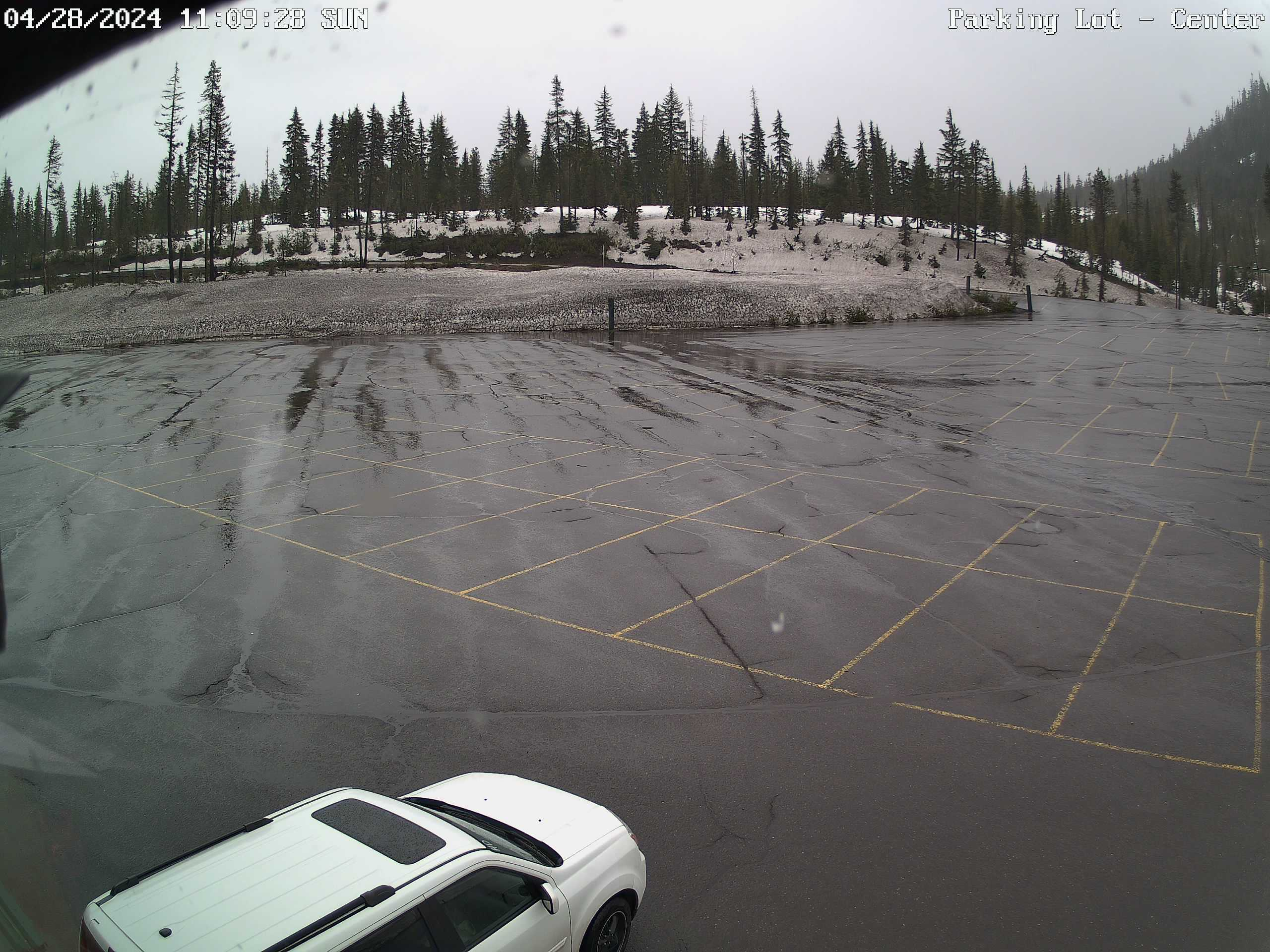
Parking Lot - center
- Looking east, near the North lodge's ticket window
|
Parking Lot - south side
- Looking southeast from the South lodge
- View includes "Camper Row" & Hayrick Butte
|
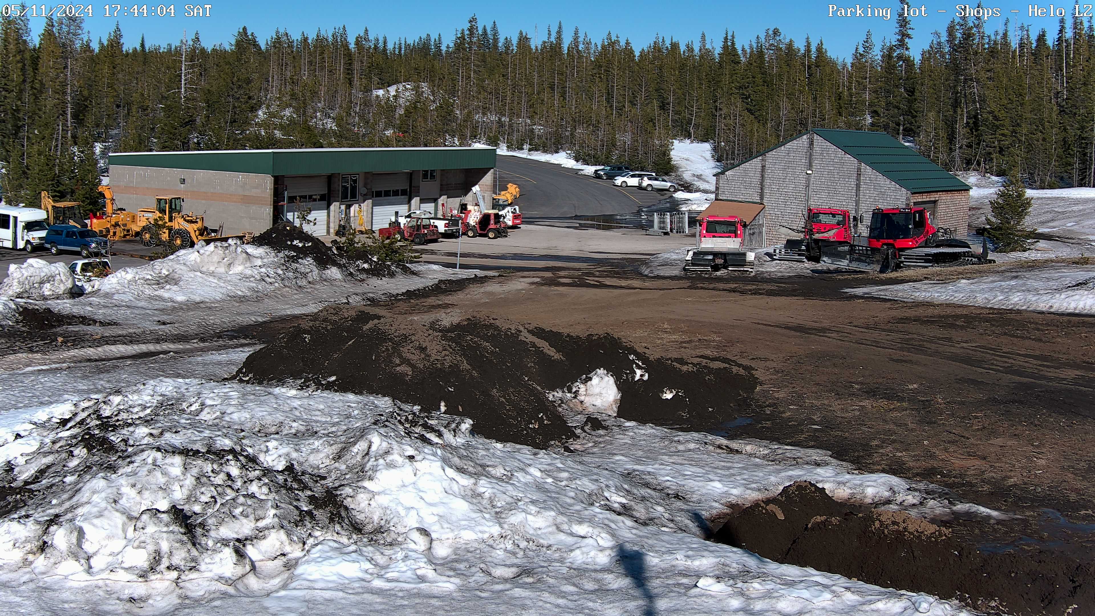
Parking Lot - South end
- Looking wherever the PTZ is pointed
- View includes Lodges, parking lot, New & Old Shops
|
Links to random shots #1 & 2
- Manually updated pictures (~weekly)
|
Links to random shots #3 & 4
- Manually updated pictures (~weekly)
|
Links to random shots #5 & 6
- Manually updated pictures (~weekly)
|
Santiam Junction (ODOT cameras)
- Looking east from the sign bridge
~ US20 mp 75 & ORE22 mp 81
- View of passing lanes & chain-up area
- Camera view c/o
ODOT's TripCheck
|
Santiam Pass (ODOT cameras)
- Looking east from near the top of Santiam Pass
- View includes highway US20 between milepost 80 and 81
- Camera view c/o
ODOT's TripCheck
|
Sisters, OR area (ODOT cameras)
|


 Hoodoo Butte pictures - 2026 02/11 (Wed) 17:01
- Mobile page
- Weather page - 48 hour,
6 hour versions
 ".
".